Satellite data allows Census to validate addresses for 2020 from the comfort of the office
In advance of any decennial census, the Census Bureau needs to figure out where every American lives. This time around, that process was made cheaper and easier with geospatial data.
The bureau undertakes a process of “address canvassing” before a census to collect a list of the approximately 150 million households across the country. And for the 2020 census, the address canvassing processes got a tech upgrade — the bureau has been able to validate around 65% of the households from the comfort of the office.
“That’s a big difference from 2010,” Deirdre Bishop, chief of the bureau’s geography division, said during a briefing Monday.
Using new software called the Block Assessment, Research and Classification Application (BARCA), workers were able to compare satellite images of the residential United States in 2009 (when the last census began) and today to spot new developments. Through data-sharing partnerships with state and local governments, the bureau can often get residence information from those developments.
All this means that there is a lot less to be done in-person. In contrast to 2010, when the bureau hired 150,000 “listers” to go out and validate the bureau’s address list, this time it will hire just 40,000.
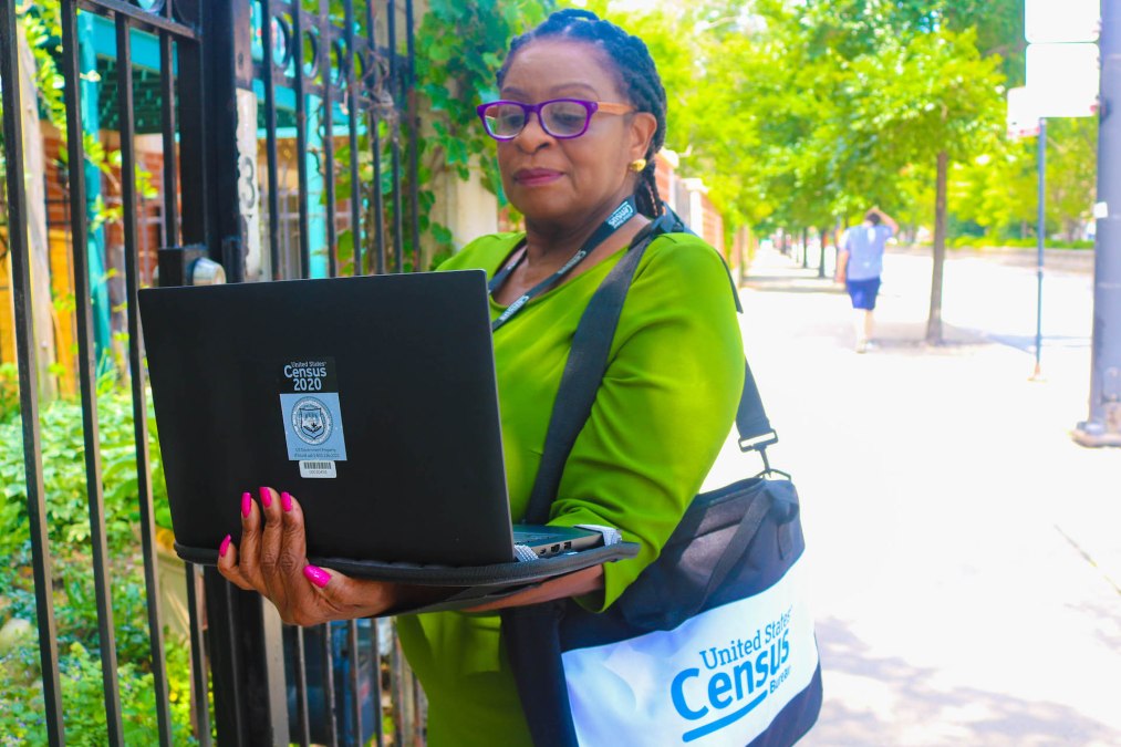
These listers are already working to verify the roughly 35% of addresses not verified using BARCA. This in-field address canvassing will take place through mid-October, the bureau said. In the field, the listers will use an application the bureau calls the Listing and Mapping Application to navigate around and validate addresses in their assigned areas, Bishop said. Listers will carry laptop computers for this purpose, she said.
The Census Bureau is also using geographic information system (GIS) tools to predict areas of low response rates. The Response Outreach Area Mapper (ROAM) shows the “low response score,” or predicted mail non-response rate, of communities across the country in an interactive manner.
Innovations like these two, Census Director Steven Dillingham said Monday, will make the 2020 count “more cost-effective and efficient than ever before.”