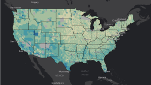
The "Story Maps" applications are intended to "tell the incredible stories of the Library’s collections through narrative, multimedia, and interactive maps."
Software vendors say they need more clarity from acquisition and IT policymakers on how new guidance for more centralized software licensing could affect their flexibility to deliver…
A new governmentwide purchasing deal with geospatial intelligence software firm Esri could save federal agencies millions every year in more efficient, less duplicative contracts, according to the…
The Obama administration is deploying a massive amount of data, hoping technology companies like Google and Microsoft can solve the world's public health problems brought on by…